Open source
Projects
Libraries and tools from the PhD and after. Everything here is public.

TrajAllocPy
Decentralized trajectory task allocation for multi-robot area coverage. A generalization of the consensus-based bundle algorithm that treats tasks as directed trajectories and optimizes traversal direction during allocation.
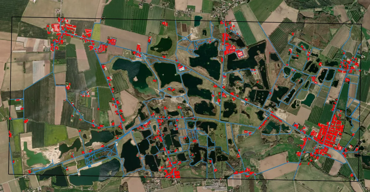
TrajGenPy
Turns map features into flyable coverage tasks. Pulls geometry from OpenStreetMap, decomposes a region, and generates trajectories that prioritize the terrain where lost people are actually found — ditches, tree lines, water edges.

SwarmTalk
Decentralized UAV-to-UAV communication over 2.4 GHz using a connectionless protocol on commodity ESP hardware. UAVs join and leave without central governance or a-priori config, and it speaks ROS 2 directly.
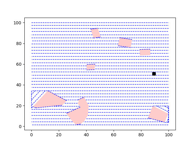
DDICP
Dynamic decentralized informative coverage planning. Multi-UAV area coverage that adapts the plan as information arrives, rather than committing to a sweep computed on the ground.
SAREnv
An open dataset and evaluation framework for informed wilderness search and rescue: 60 geospatial scenarios across four European environments, a lost-person probability model, baseline search strategies, and scoring metrics. Built so path-planning papers can finally be compared to each other — groups at Bristol are now extending it with student projects.
HopDatabase
500+ hop varieties, scraped and normalized into something you can actually compare across — alpha acids, oil composition, substitutions. Built because choosing hops from vendor PDFs is miserable, and because I brew.